Puebla International Airport
Puebla, Mexico
Point cloud survey + As-Built modeling
The project
The building operated without drawings reflecting its real condition: the available documentation belonged to earlier stages and did not match what was built. Any expansion proposal therefore started from unreliable information.
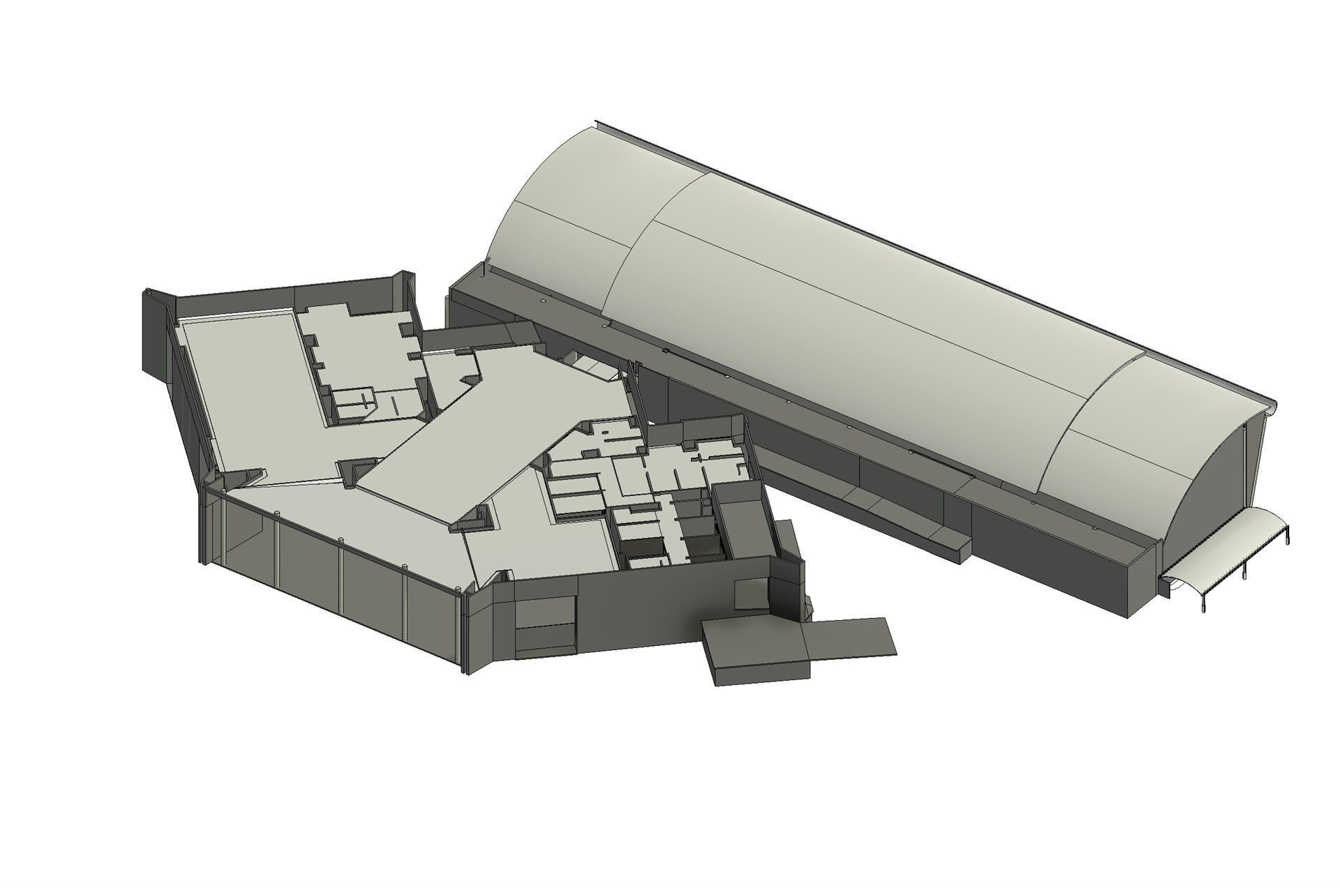
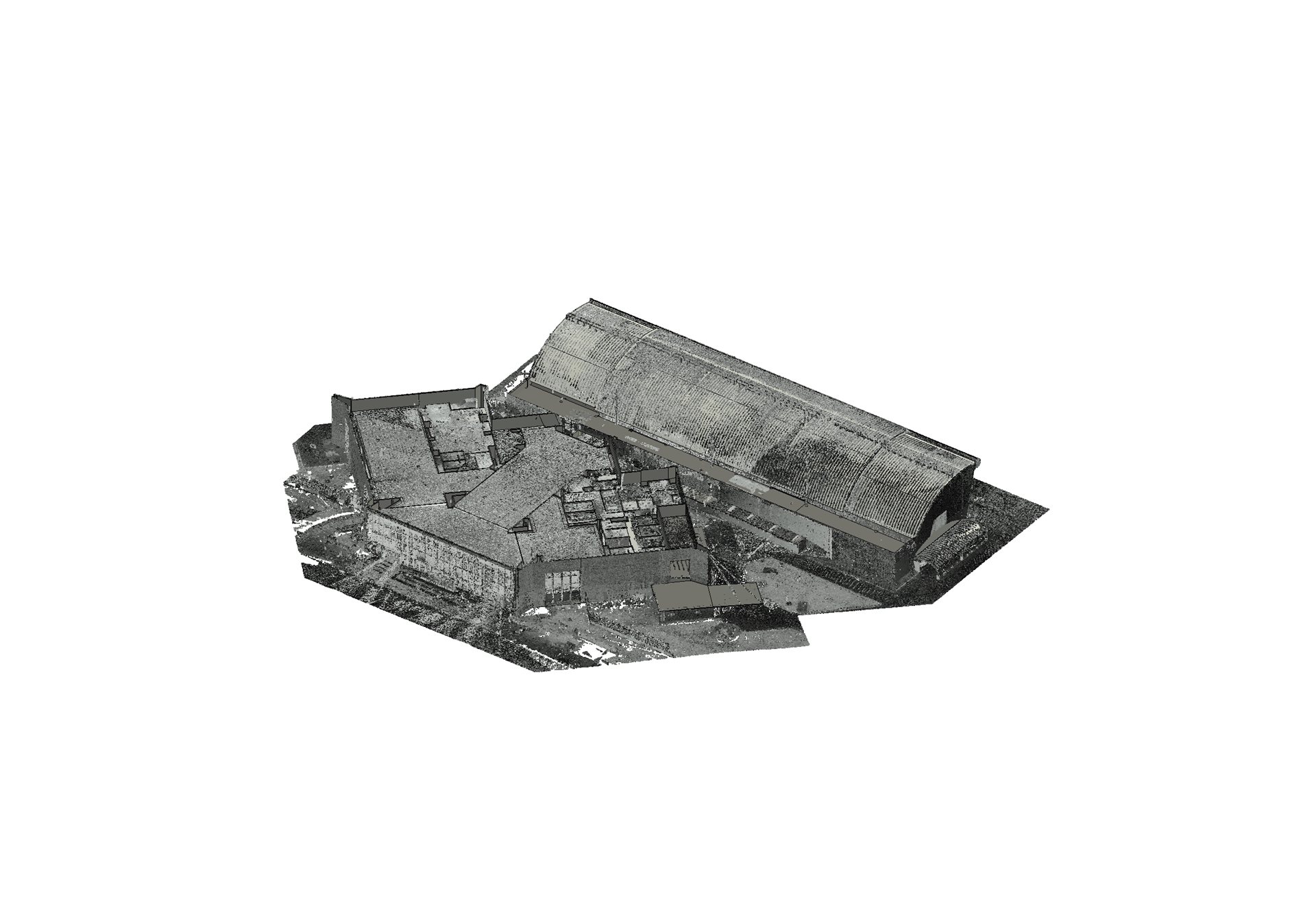
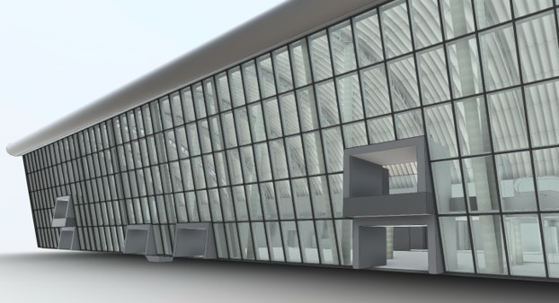
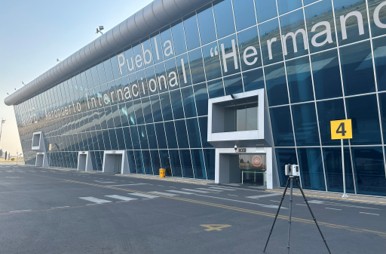
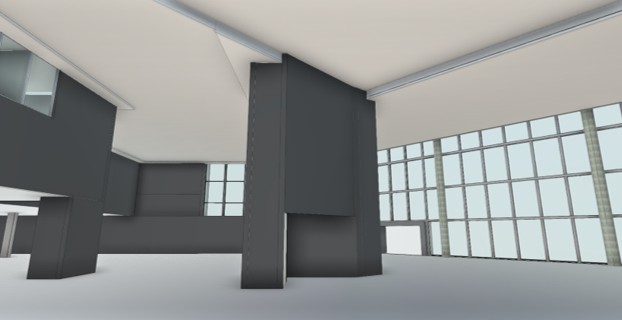
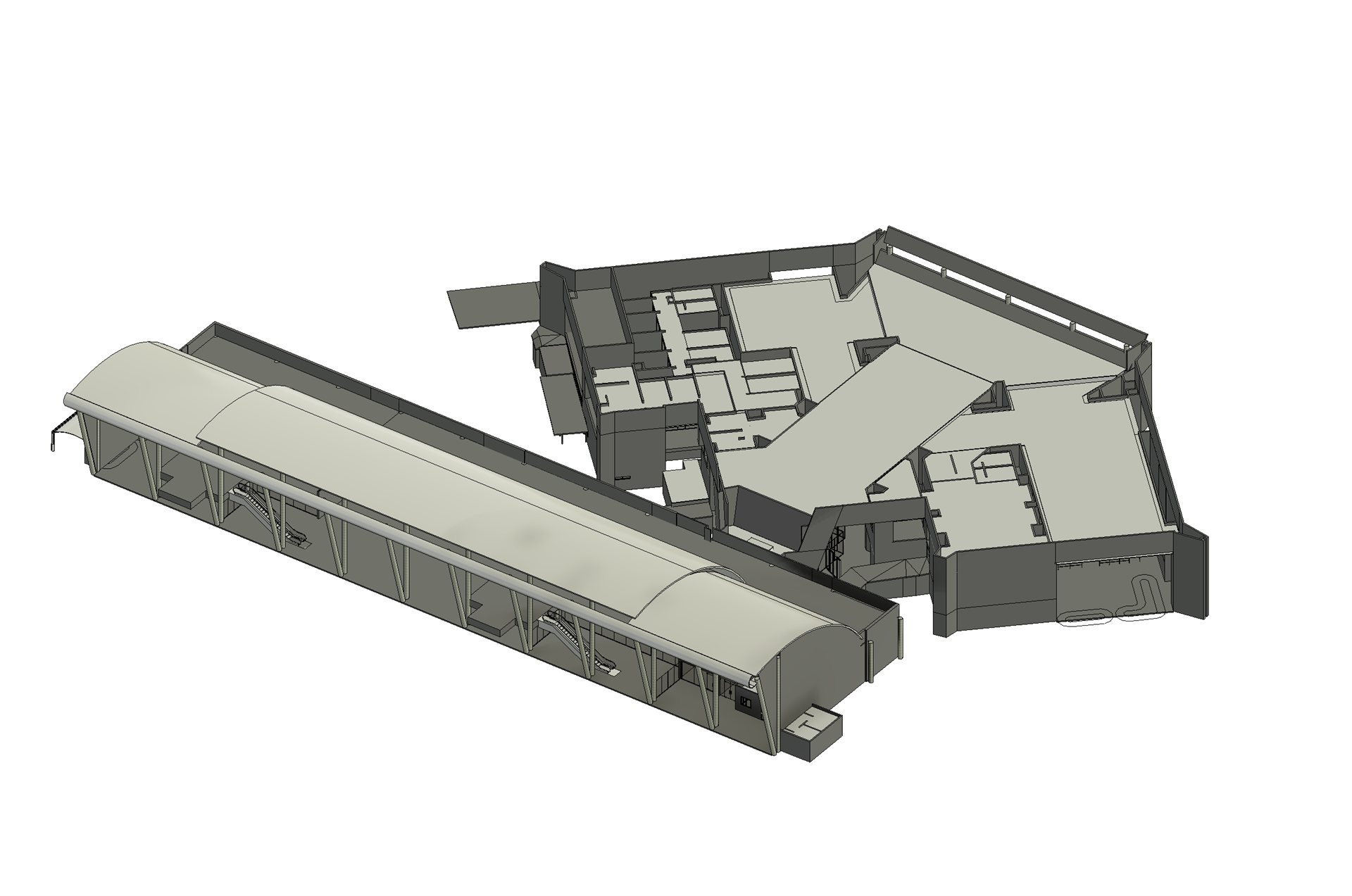
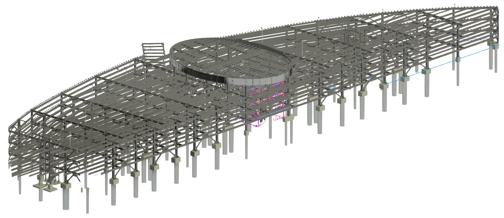
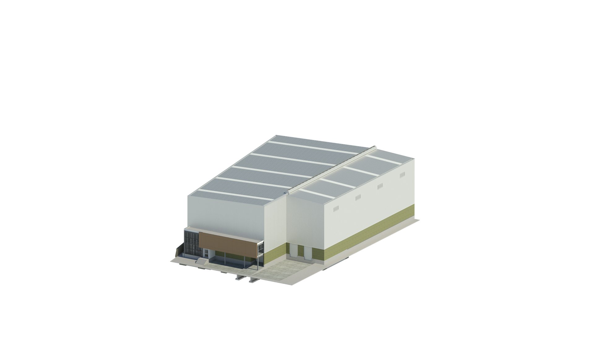
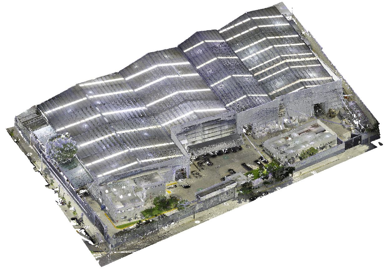
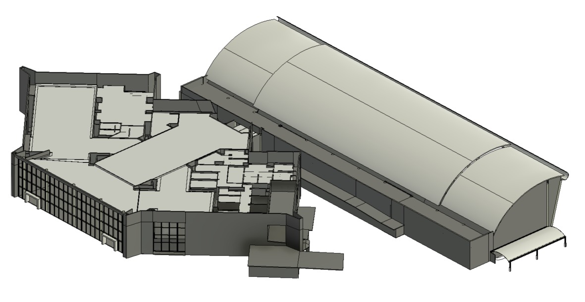
We performed the complete survey with a Leica RTC-360 laser scanner, registered and stitched the scans in Register 360 and processed the cloud in ReCap to model the architecture in Revit. The result was an As-Built with real dimensions and levels, verifiable point by point against the cloud.
The design team was able to start the expansion proposal on solid ground, moving the schedule forward by roughly a month. The point cloud remains a permanent reference for the following stages.
Result
No real drawings of the building existed. We performed the survey with a Leica RTC-360 laser scanner and the architectural As-Built modeling to obtain millimetric dimensions and levels as the basis for the upcoming expansion stages. Result: real information about the building and about one month saved, moving the architectural proposal forward.
Project gallery