Plaza Tapatía
Guadalajara, Mexico
BIM coordination, point cloud and As-Built
The project
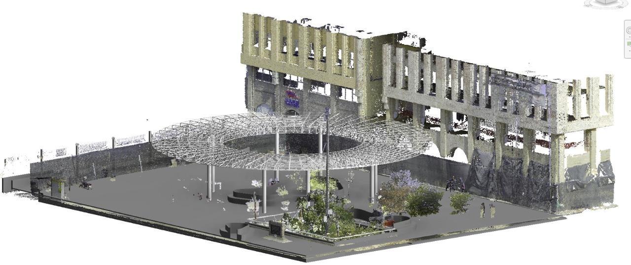
Plaza Tapatía is a Cotekno project in downtown Guadalajara, a context where the existing geometry conditions every design decision and allows no assumptions.
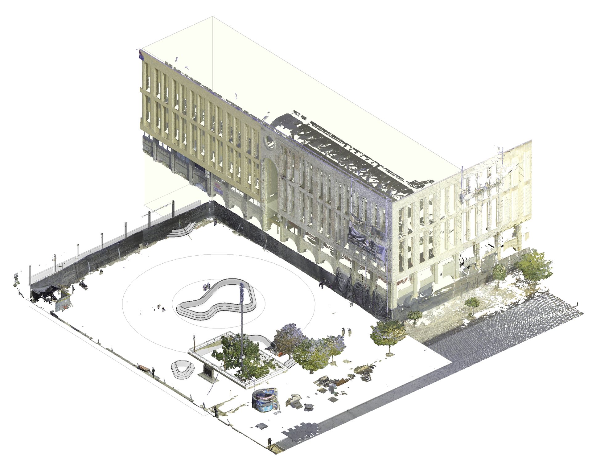
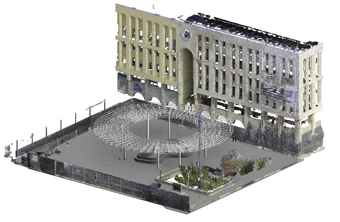
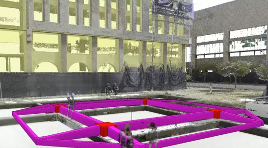
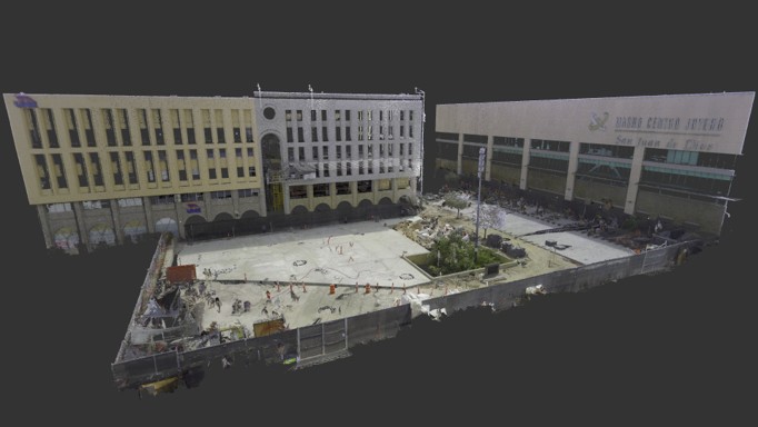
We surveyed the current condition with a Leica RTC-360 laser scanner and overlaid the point cloud with the design model. That contrast revealed where the design didn’t fit the existing conditions so it could be corrected before execution, and grounded the quantity takeoff on real measurements.
During construction, the As-Built model was kept up to date in Autodesk Construction Cloud as the tracking reference, with BIM coordination of every discipline involved.
Result
BIM coordination and modeling for Cotekno’s Plaza Tapatía project: point cloud survey, overlay with the design model and As-Built for definition, quantity takeoff and construction tracking.
Project gallery