Point Cloud Scanning
We scan the building with a Leica RTC-360 3D laser scanner and obtain a cloud of millions of points that reproduces the real geometry within ±3 mm. It is the fastest and most reliable way to document a building with no existing information, or whose information is no longer valid.
Scan registration and stitching are processed in Cyclone Register 360 Plus and ReCap, and from there move into Revit for modeling. The cloud remains available as a permanent reference: any measurement needed later can be taken from it, without revisiting the site.
We work in buildings in operation. At Plásticos Arcoíris Montemorelos (8,500 m²) the challenge was coordinating the scan with tenants at work while safeguarding their privacy; at El Colli (7,832 m²) the survey included roofs, with drawings of galvanized and translucent sheet areas to ease maintenance and replacement.
The deliverable can be the cloud itself, the derived As-Built model, or both, depending on what you plan to do with the information.
Where we have applied this service
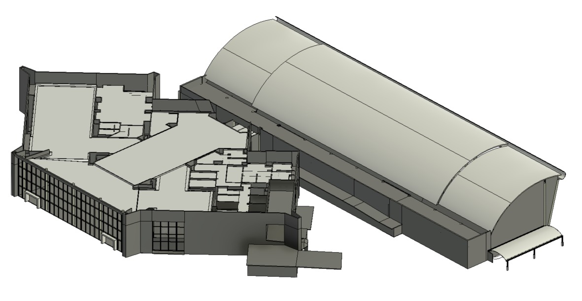
Puebla International Airport
Point cloud survey + As-Built modeling
View case study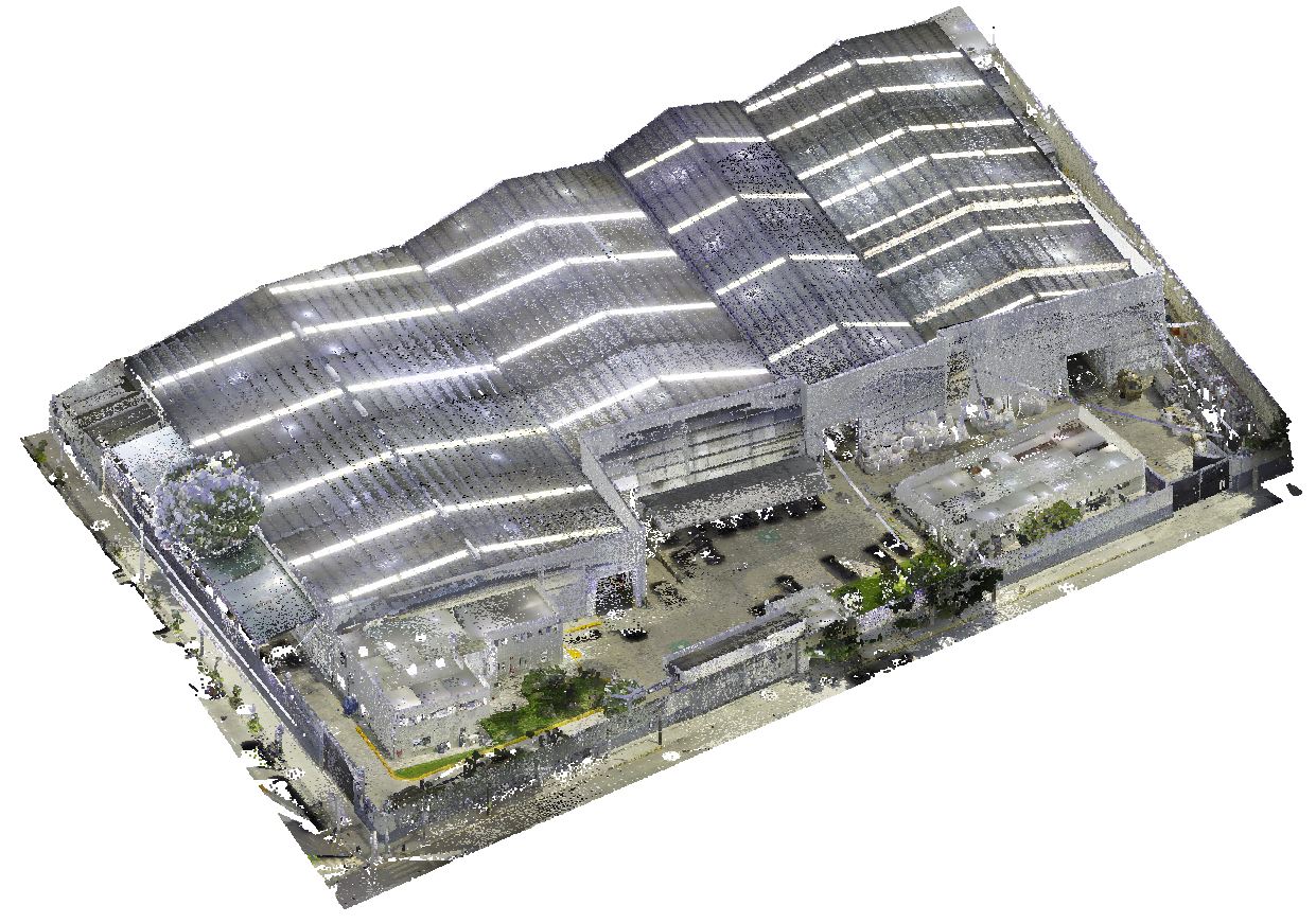
Plásticos Arcoíris El Colli
Point cloud + As-Built of warehouses and offices
View case study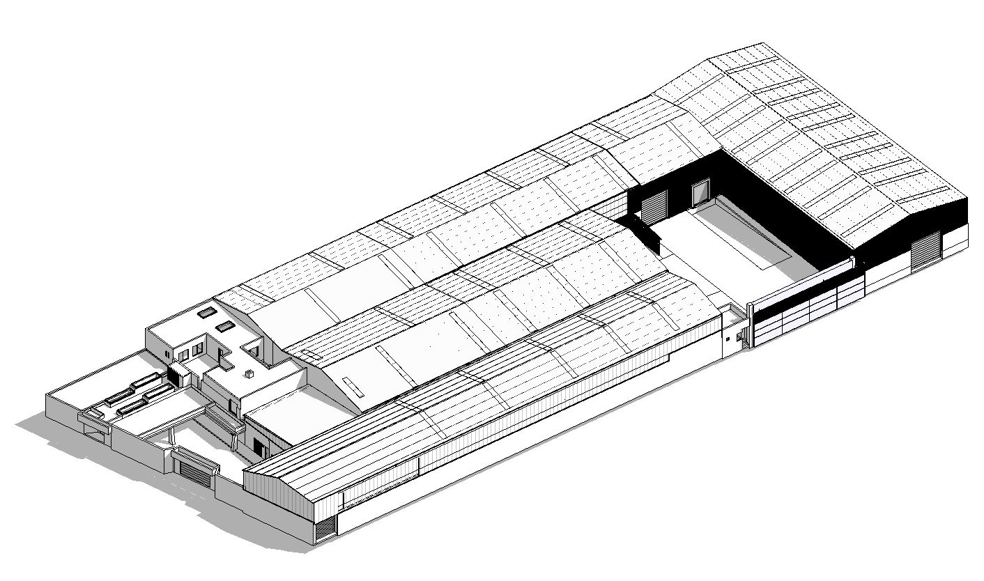
Plásticos Arcoíris Montemorelos
Point cloud + modeling of a warehouse/office complex
View case study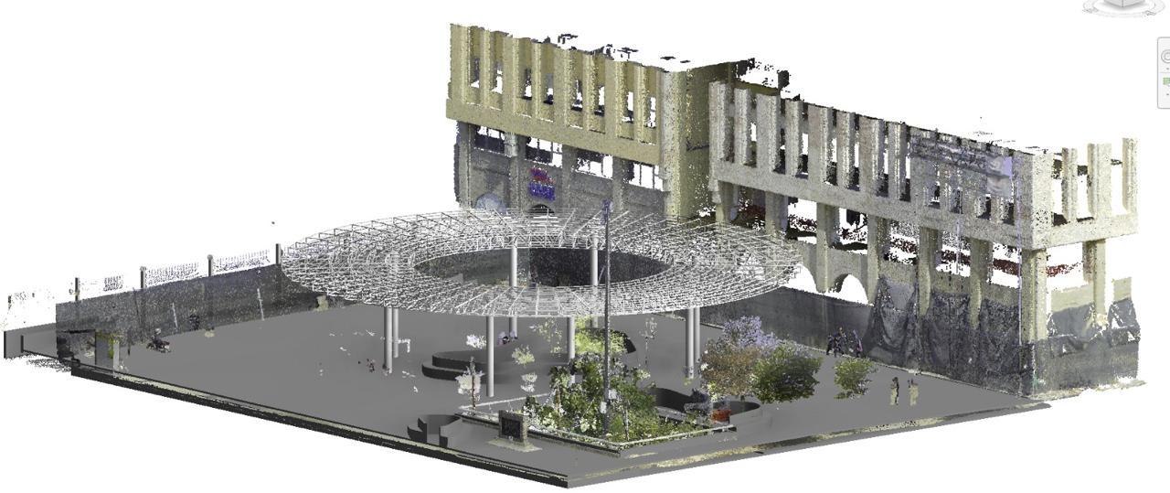
Plaza Tapatía
BIM coordination, point cloud and As-Built
View case study